Click here to open Google Earth and fly to the Long Beach Island DXpedition site.
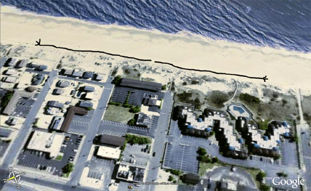
The image below is a satellite picture courtesy of Google of the original LBI DX site. The black rectangle in the upper part of the image is the seafront building of the Drifting Sands Motel; it was refurbished in 2004, but the photo shows the buildings as they looked for the first 3 years of the DXpedition. The two black lines represent the North and South-running BUTS (beverage under the sand) or BOG (beverage on the ground) antennas.
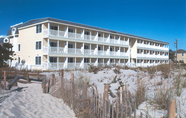
2006 photo of the Drifting Sands Motel...
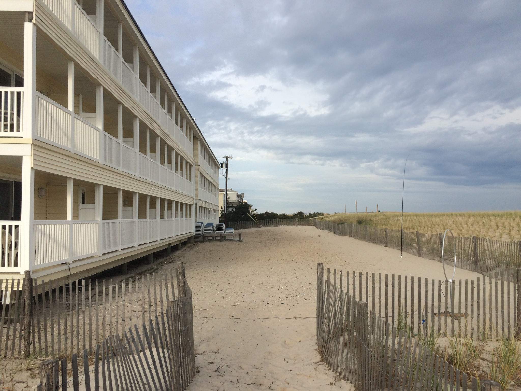
The antenna "patch" outside of the radio rooms at the Drifting Sands motel in 2016 (with Wellbrook 1530 and superloop antennas)...
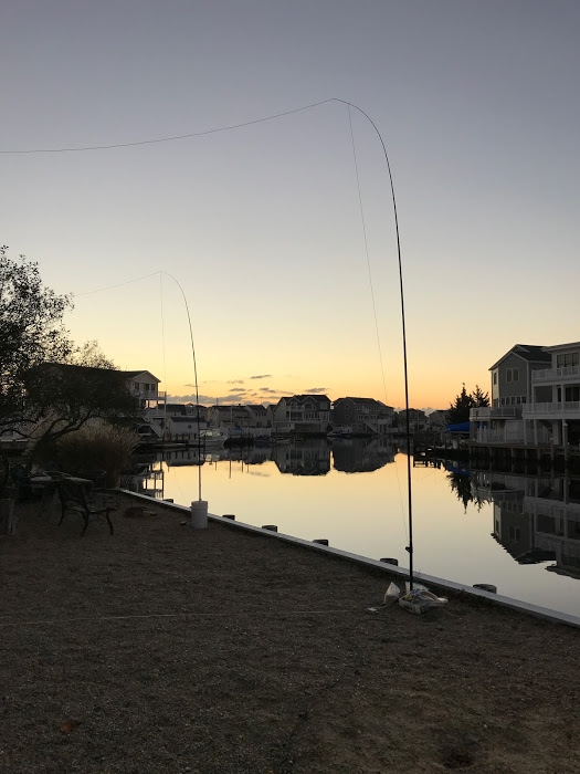
The south and northeast superloop antennas at the Beach Haven West location in 2017...
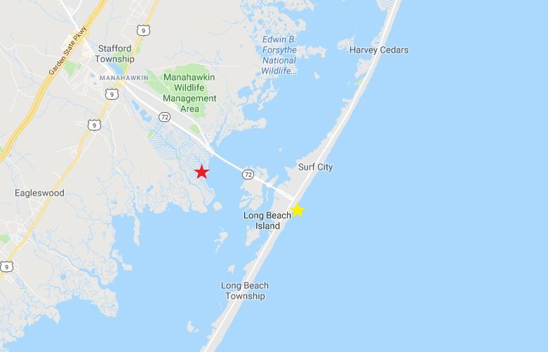
The original location (yellow star) and the new location (red star) for the LBI DXpedition...